Karnataka Profile
Geographically Karnataka is situated on a tableland where the Western and Eastern Ghat ranges converge into the Nilgiri hill complex, the State of Karnataka is confined roughly within 11.5 degree North and 18.5 degree North latitudes and 74 degree East and 78.5 degree East longitude. The neighboring states bounded with Karnataka includes Maharashtra and Goa in the North and North-West; by the Arabian sea in the West; by Kerala and Tamilnadu in the South and Andhra Pradesh in the East. The State extends to about 750 km from North to South and about 400 km from East to West and covers an area of about 1,91,796 sq. km being the 8th largest state holding 5.83% of the total geographical area of India
Karnataka comprises of varied topographical structures that includes high mountains, plateaus, residual hills and coastal plains. The State is enclosed by chains of mountains to its west, east and south. It consists mainly of plateau which has higher elevation of 600 to 900 metres above mean sea level. The entire landscape is undulating, broken up by mountains and deep ravines.
Plain land of elevation less than 300 metres above mean sea level is found only in the narrow coastal belt, facing the Arabian Sea. There are quite a few high peaks both in Western and Eastern Ghat systems with altitudes more than 1,500 metres. A series of cross-sections drawn from west to east across the Western Ghat generally exhibit, a narrow coastal plain followed to the east by small and short plateaus at different altitudes, then suddenly rising upto great heights. Then follows the gentle east and east-north-west sloping plateau. Among the tallest peaks of Karnataka are the Mullayyana Giri (1,925 m), Bababudangiri
(Chandradrona Parvata 1,894 m) and the Kudremukh (1,895 m) from the Chikmagalur district and the Pushpagiri (1,908 m) in Kodagu district.
Physiograpically, Karnataka State forms part of two well-defined macro regions of Indian Union; the Deccan Plateau and the Coastal plains and Islands. The State has four physiographic regions namely Northern Karnataka Plateau, Central Karnataka Plateau, Southern Karnataka Plateau and Karnataka Coastal Region.
For more information please
More information on 2011 Census data Click Here
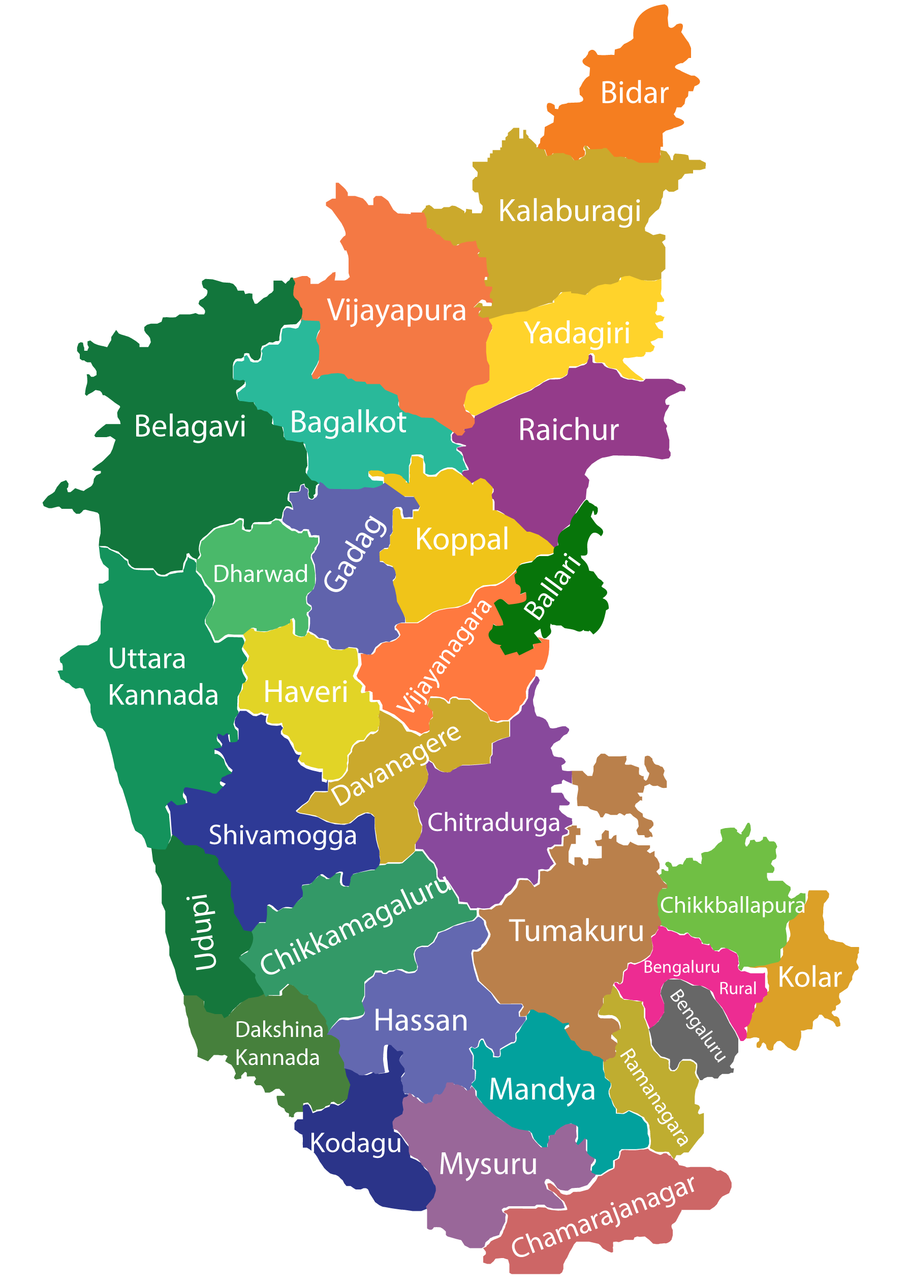
The 31 Districts of Karnataka are as follows,
Source: https://www.karnataka.gov.in/english